A fault line beneath the US West Coast could unleash a quake more devastating than California’s notorious ‘Big One.’ New research reveals the Cascadia Subduction Zone’s terrifying potential to generate a magnitude nine earthquake. This seismic threat could devastate coastal communities from Canada to California.
Underwater Fault Line Threatens Megaquake

A fault line along the US West Coast could trigger a megaquake even more devastating than California’s ‘Big One,’ a new study reveals. Researchers have mapped the Cascadia Subduction Zone with unprecedented detail, highlighting its potential dangers.
Cascadia Subduction Zone Mapped
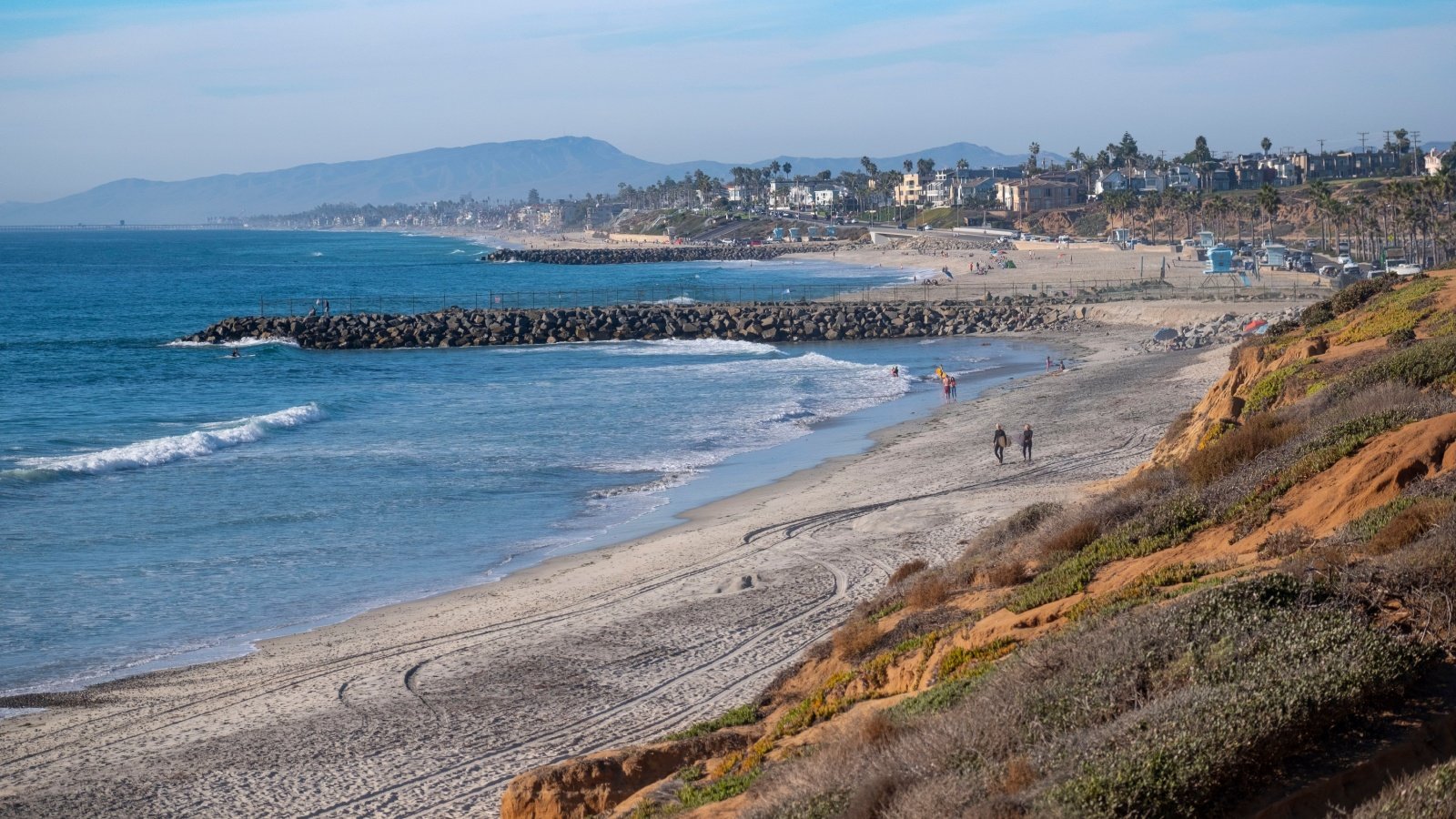
Scientists used underwater mapping techniques to uncover the 600-mile fault line extending from southern Canada to northern California. This detailed mapping reveals the fault’s division into four segments, unlike the typical continuous fault lines.
Four Segments Pose Greater Risk
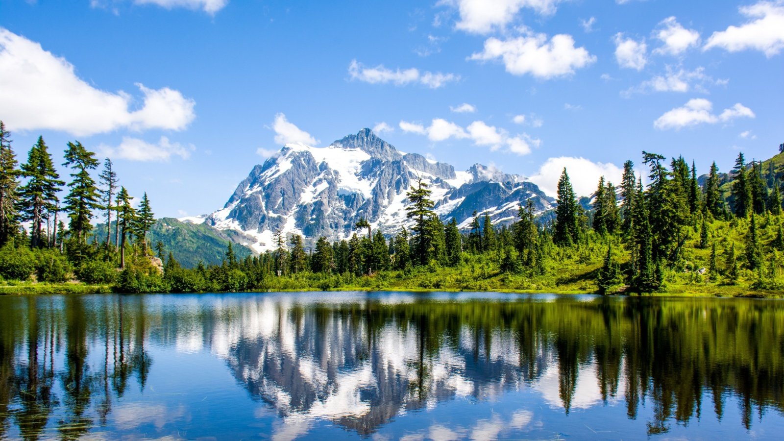
The Cascadia fault’s segmentation could lead to more catastrophic outcomes. The tectonic plates sliding under each other could generate more pressure, resulting in severe earthquakes.
Potential for a Nine-Plus Magnitude Quake

Researchers concluded that the Cascadia Subduction Zone might unleash a quake of over nine magnitude. This would surpass California’s San Andreas Fault, which is poised for an up to 8.3-magnitude quake.
Tsunami Threat and Devastation

A nine-plus magnitude earthquake could generate tsunamis over 100 feet high. Such an event could kill more than 10,000 people and cause over $80 billion in damages in Oregon and Washington alone.
Long-Term Aftermath Risks

Disaster plans warn of long-term deaths from disease due to exposure to dead bodies, animal carcasses, and contaminated water. Hazmat spills from various sources would also contribute to the chaos.
Lessons from Japan’s 2011 Quake
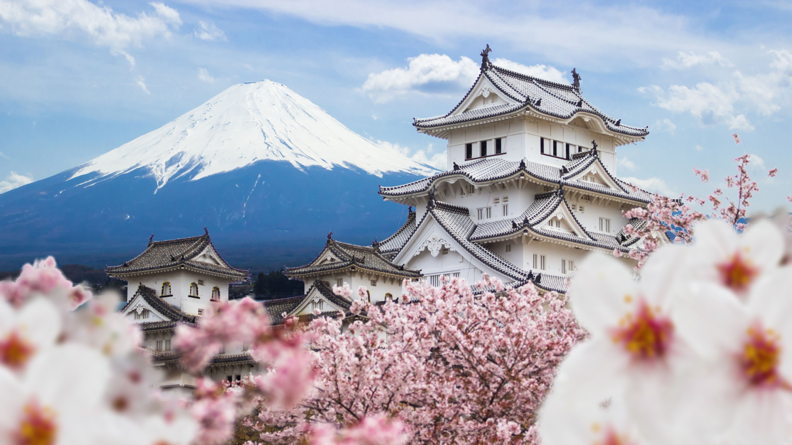
A similar fault zone in Japan caused a magnitude 9 quake in 2011, resulting in a devastating tsunami. Nearly 20,000 people died, highlighting the potential for similar destruction on the US West Coast.
Historical and Future Quake Patterns

Scientists report that quakes caused by Cascadia occur roughly every 500 years, with the last one in 1700. This suggests a significant quake is overdue, raising concerns for future disasters.
Varied Geology Increases Danger

Cascadia’s four segments have different rock and sediment compositions, increasing its threat level. The segment stretching from northern Oregon into Washington and southern British Columbia is particularly concerning.
Implications for Major Cities
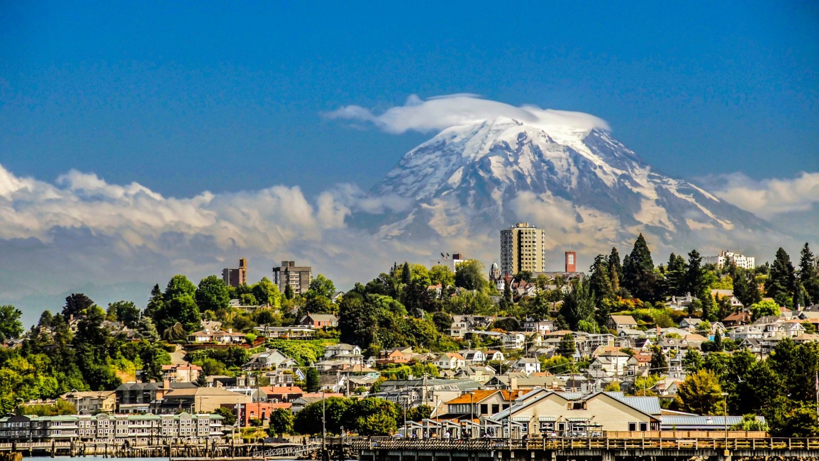
Further study is required, but the findings suggest cities like Tacoma and Seattle could face catastrophic consequences. The difference between alarming and catastrophic impacts hinges on these new discoveries.
Flatter Section of Cascadia Poses Greater Threat

The flatter, smoother section of the Cascadia fault could cause the largest earthquakes, impacting all of Washington’s coastal communities. This section’s characteristics suggest it could extend further into the US, amplifying its potential devastation.
Potential for Planet-Sized Quakes

Cascadia is capable of generating quakes as large as the biggest ones ever experienced on the planet. This fault zone could produce a magnitude nine quake or slightly larger, posing significant risks.
New Mapping Reveals Clear Picture

Suzanne Carbotte, the study’s lead author, emphasized that this is the first clear picture of the Cascadia zone. Previous emergency response models were based on outdated 1980s data, underscoring the need for updated preparedness.
Preparing for a Worst-Case Scenario
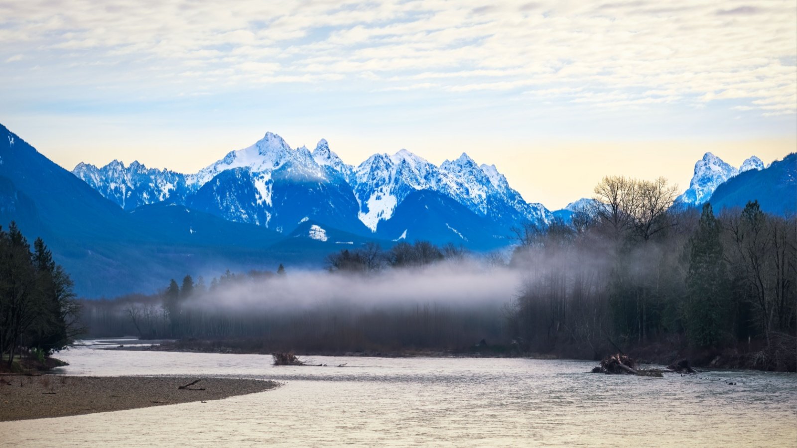
Researchers aim to help states in the impact zone prepare for worst-case scenario responses. With more accurate data, Oregon and Washington can enhance their emergency plans and evacuation strategies.
Insufficient Preparedness Highlighted
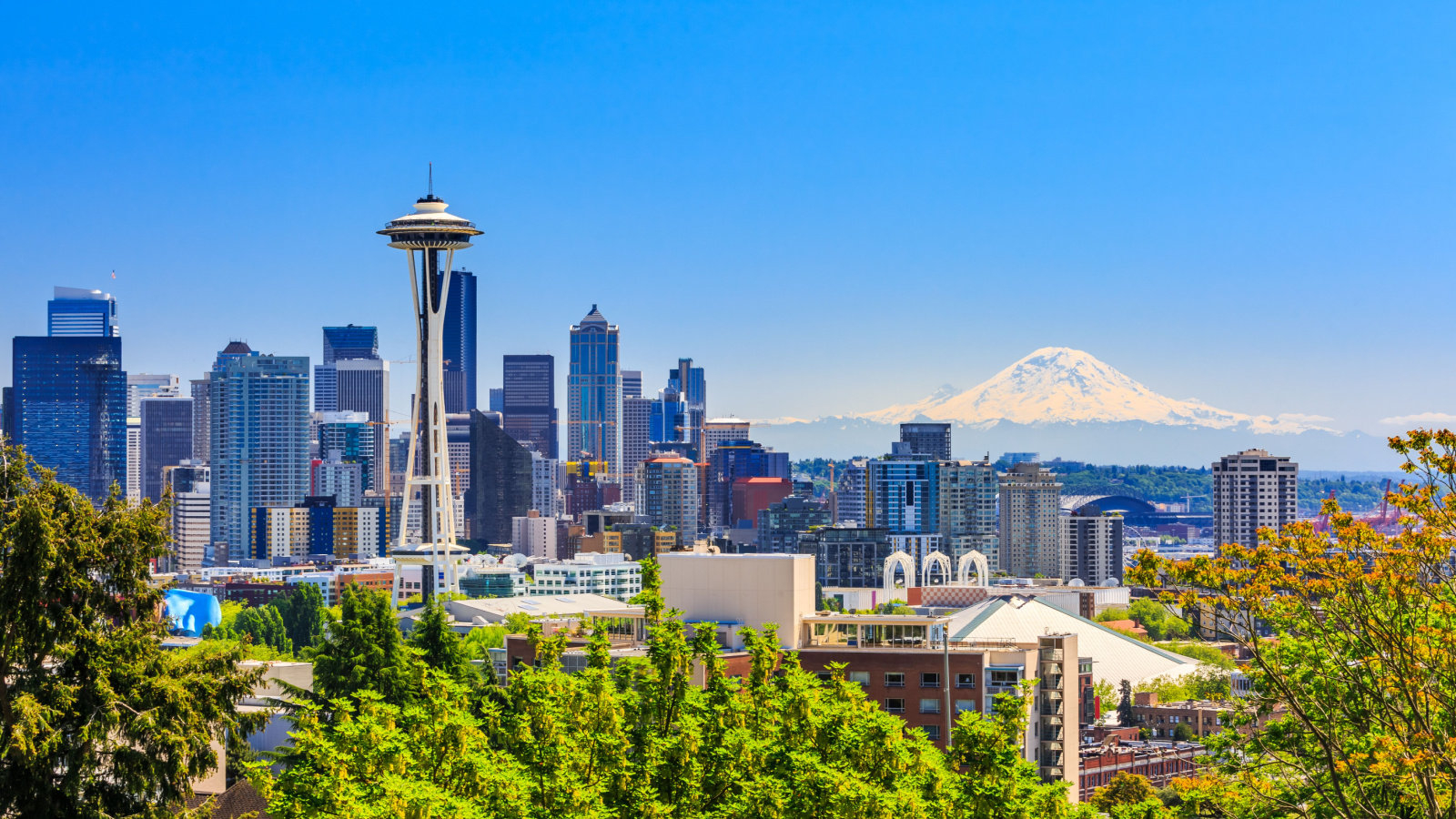
Oregon and Washington are not adequately prepared for a disaster of this magnitude. However, new preparedness assessments could be published as early as next year, improving readiness.
Advanced Seismic Imaging Techniques

The subduction zone map was created using active source seismic imaging, providing sharper insights into potential impacts. This technique emits sounds to the ocean floor and processes the echoes, offering a clearer picture of the fault.
Cutting-Edge Technology Deployed
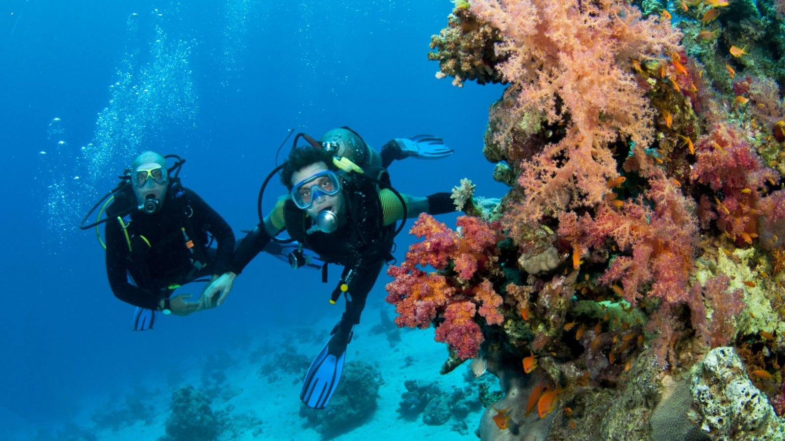
Researchers used a nine-mile-long cable with 1,200 hydrophones to capture echoes and update ocean acoustic tomography models. This advanced technology measures the time it takes for sound to bounce off ocean floor structures, revealing active fault lines.
Unprecedented Data Accuracy

The resolution and accuracy of the new data set are unprecedented. This comprehensive information allows for better risk assessments and informed building codes and zoning regulations.





Anders als die acht anderen bayerischen Casinos bietet diese Spielbank durch
das Alter des Hauses ein sehr traditionelles Ambiente.
Das freundliche Personal steht jederzeit zur Verfügung,
um bei Bedarf Unterstützung zu bieten. Alternativ bieten sich die Parkhäuser im Stadtzentrum an, etwa
das Parkhaus „Zentrum“, das nur wenige Gehminuten entfernt ist.
Das Hazardspiel wurde schon um 1800 angeboten, allerdings wurde es 1849 wieder verboten.
Begleiten Sie uns zu einem unvergleichlichen Spielerlebnis in der Spielbank Bad Kissingen, wo
Tradition auf Innovation trifft. Treten Sie noch heute bei und
entdecken Sie, warum wir die erste Anlaufstelle für Spieler sind, die ein spannendes
und unkompliziertes Spielerlebnis suchen.
Erleben Sie eine Vielzahl von aufregenden Spielen in der Spielbank Bayern, die
über 100 elektronische Spielautomaten sowie klassische
Tischspiele wie Roulette, Blackjack und Poker bietet.
Und mit unseren hochmodernen Sicherheitsmaßnahmen können Sie
mit Vertrauen spielen, in dem Wissen, dass Ihre Daten sicher und geschützt sind.
Machen Sie den nächsten Schritt und erleben Sie
es selbst – fangen Sie noch heute an zu spielen! In der Zwischenzeit ermöglicht das makellose mobile Design den Spielern, ihre Lieblingsspiele unterwegs zu genießen. Das Fehlen von mobiler Kompatibilität könnte auf
die physische Natur des Casinos zurückzuführen sein, wo Gäste persönlich besuchen und spielen können.
References:
https://online-spielhallen.de/tipico-casino-deutschland-ihr-umfassender-einblick-in-das-online-glucksspiel/
Detroit turned the ball over six times, rushed for
under 2.5 yards per carry, and Jared Goff was sacked five times.
The Detroit Lions’ playoff hopes died on Christmas in one of the
worst offensive showings in recent memory. The Lions will
end the season on the road in Chicago, where the Bears may be playing for the division title,
or may be resting their starters to prepare for the playoffs.
Meanwhile, the Bears are on the brink of winning the division,
while the Lions loss clinches a playoff spot for
the Packers.
Jared Goff converts three times on third
down from nine-plus yards from the line to gain, including a 28-yard completion to Isaac TeSlaa.
Minnesota has 36 total yards of offense. But Will Reichard kicks a 56-yard field goal for the Vikings to go up by six as
the fourth quarter approaches. The Lions’ playoff dreams go out
with a whimper as Detroit turns the ball over six times in a dreadful performance
against Minnesota. Campbell’s performance has been better, but Detroit will likely be looking for a new offensive coordinator for the second time in as many offseasons.
Campbell said after the game that Glasgow’s knee, which kept him
out of last week’s game, was “good enough to help us as a reserve.” But at the same time, we’ve just got to do it,
and we’re not doing it. “I’m probably more frustrated,” Lions
linebacker Jack Campbell said, regarding whether he was confused by how this
season turned out. And Detroit still found a way to lose the football
game. The Lions sacked third-string Vikings quarterback Max Brosmer, making just his second career start, six
times on 22 dropbacks.
References:
https://blackcoin.co/free-online-slots-play-the-best-free-slots/
It stands out for its unique bonus policy where wagering requirements never apply.
The customer support is fast, friendly, and reliable, completing a fantastic gambling experience.
Known for its fast withdrawals (within 24 hours), unusually high withdrawal limits of A$225,000 per
month, and lucrative loyalty rewards program, it’s particularly suitable for high rollers.
However, in some cases it’s even lower, so checking the RTP before spinning is
crucial. While drawbacks are few, a notable one is that many pokies are set
to a lower-than-maximum RTP, often being 94% instead of 96%.
It wasn’t until now that I had to test it extensively and compare it
with other Australian online casinos for real money to give
it a proper ranking. There are no laws in place that prevent Australians from signing
up at offshore casino sites and playing real money games.
The CasinosOnline team reviews online casinos based
on their target markets so players can easily find what they need.
So, one can safely assume that there is nothing to stop Australians from playing online
casinos online. Some online casinos also offer the option of downloading and installing native mobile
gaming apps for iOS and Android smartphones and tablets. Namely, Aussie players also enjoy
traditional online casino games such as blackjack, baccarat, and roulette.
The game selection is as good as some of the best AU casinos around,
say Stay Casino or Wild Tokyo. From the website design and animations to how intuitive everything is, the entire experience is
just better than any other Australian online casino at the moment.
We tested 50+ games from all categories at each casino and didn’t
go below a balance of A$200 so that we could request a payout.
References:
https://blackcoin.co/rocketplay-casino-bonus-codes-november-2025/
paypal casinos for usa players
References:
https://timviec24h.com.vn/companies/uk-online-casinos-accepting-paypal-2025-quick-e-wallet-payout
gamble online with paypal
References:
sisinetjobs.com